NRCS Agriculture Mapping

Create a Photo Map of Historic Shorelines From NRCS Agriculture Mapping

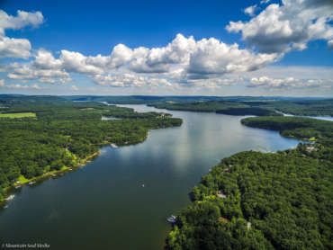
The time-rate of shoreline changes can be documented by rubber sheeting the photos onto a base map using features visible on the base map and on each sheet as it is brought in. Because of the spatial size of the project, it will need to be done digitally. From the file, the time rate of shoreline change can be documented and evaluated. The project partially fulfills Goal 3 of the Watershed Management Plan.

Paul W. Weiler County Park

Paul W. Weiler County Park

The Foundation, in partnership with Garrett County Government, proposes to provide apicnic shelter to memorialize Paul’s contributions to the watershed. The project partially fulfills Goal 3 of the Watershed Management Plan.

Do you have questions? Call or visit us.

(703) 975-8485

P.O. Box 376
Oakland, MD 21550

Newsletter


By submitting this form, you are consenting to receive marketing emails from: DCWF. You can revoke your consent to receive emails at any time by using the SafeUnsubscribe® link, found at the bottom of every email. Emails are serviced by Constant Contact

Connect With Us

©2024 – Deep Creek Watershed Foundation